Home Visit
Ecuadorist
Visit
Ten places that explain the country.
The capital
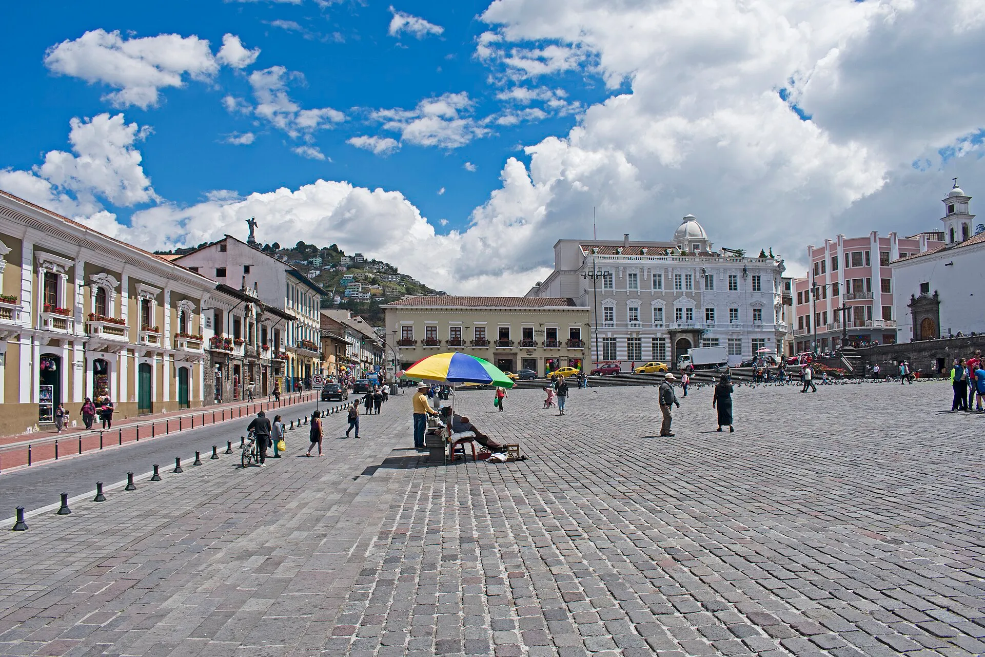
Quito, above the clouds
A UNESCO old town, a working city, and air thin enough to slow the first day down.
The south
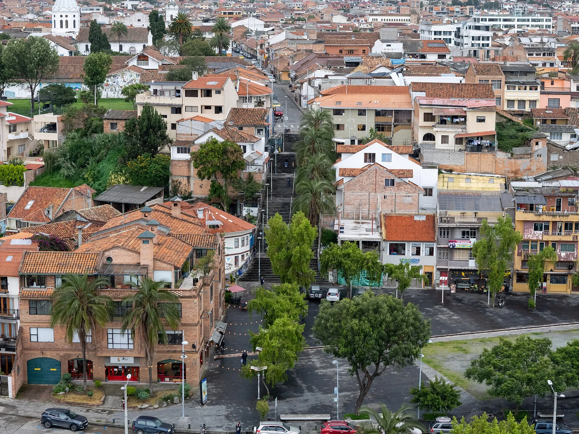
Cuenca, at a walking pace
Marble churches, a river path, and a climate people describe as permanent spring.
The islands
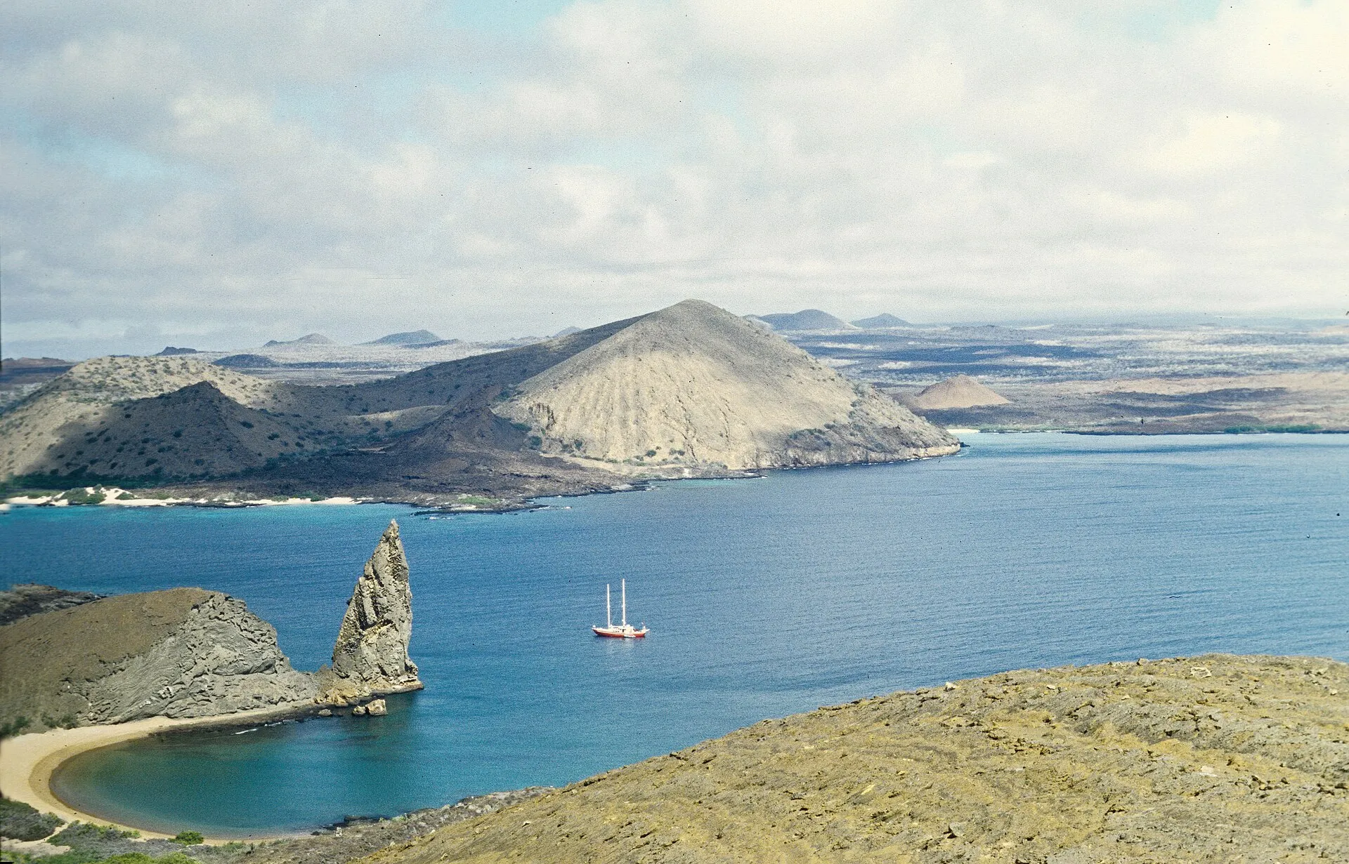
The Galápagos, with a plan
A national park that happens to be a province. Go with rules, not a wish list.
The valley
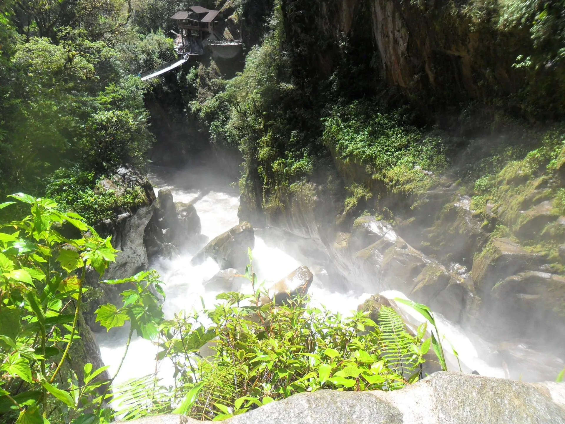
Baños, under the volcano
Waterfalls, hot water, and Tungurahua in the background.

The north
Otavalo and the Saturday market
Textiles in the morning, a crater lake when the square fills up.
Cloud forest
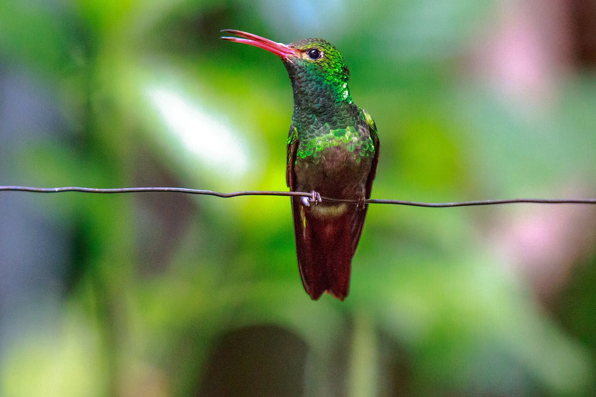
Mindo, in the cloud forest
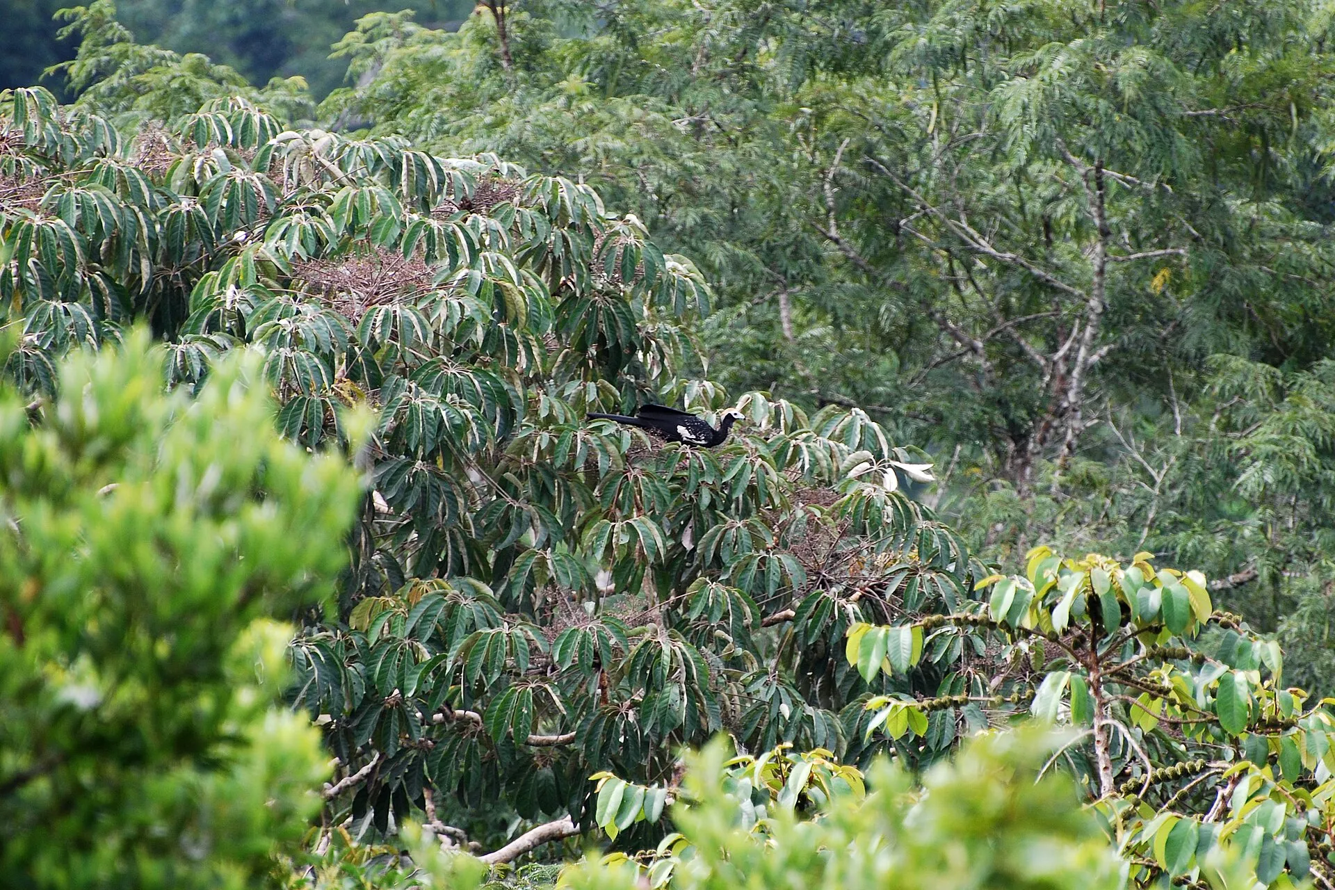
A wet, green pause between Quito and the coast. Bring a layer and look up.
Avenue of the Volcanoes
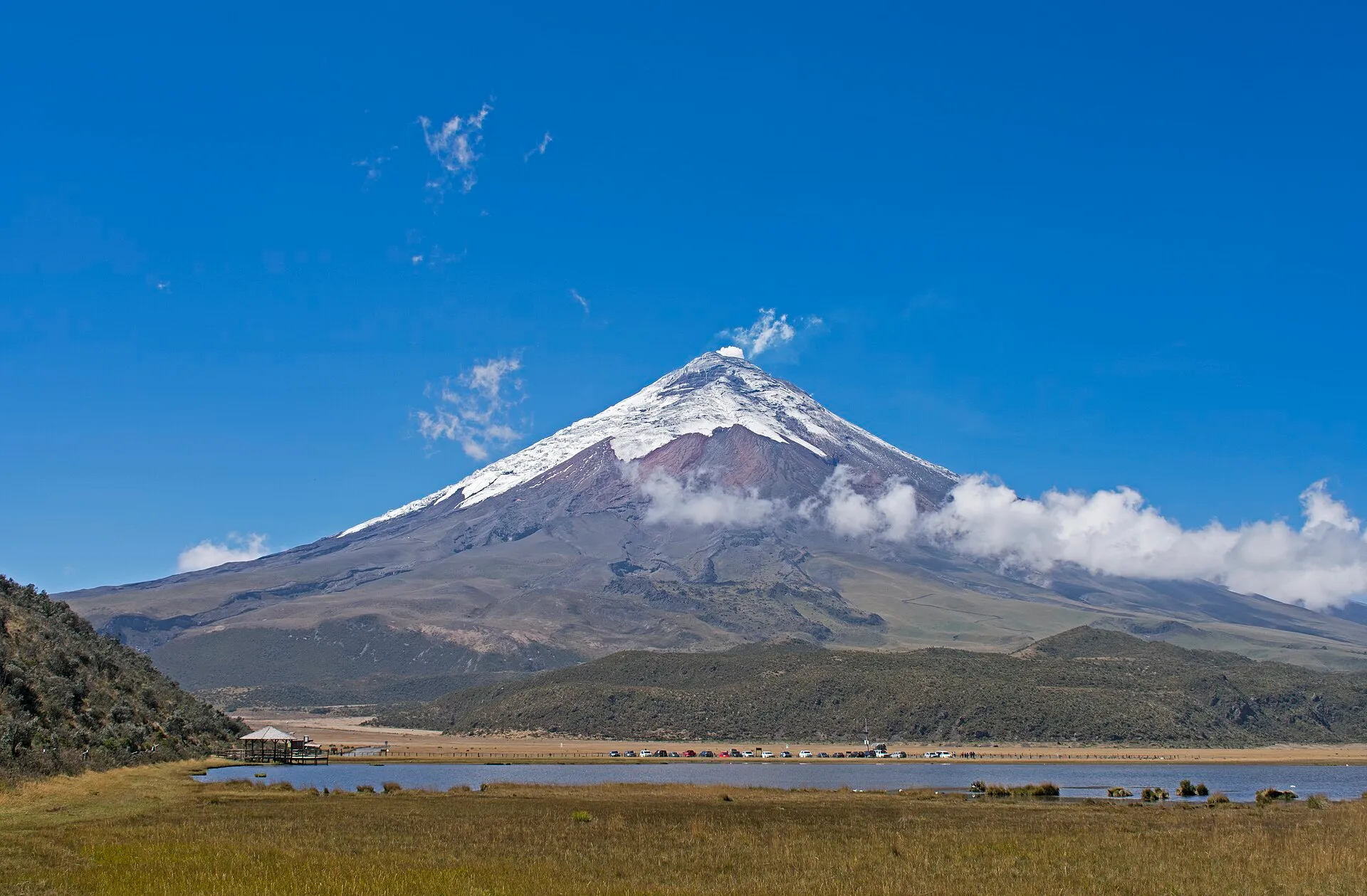
Cotopaxi, the perfect cone
One of the world’s great volcanic profiles. Most people should stop well below the ice.
The crater
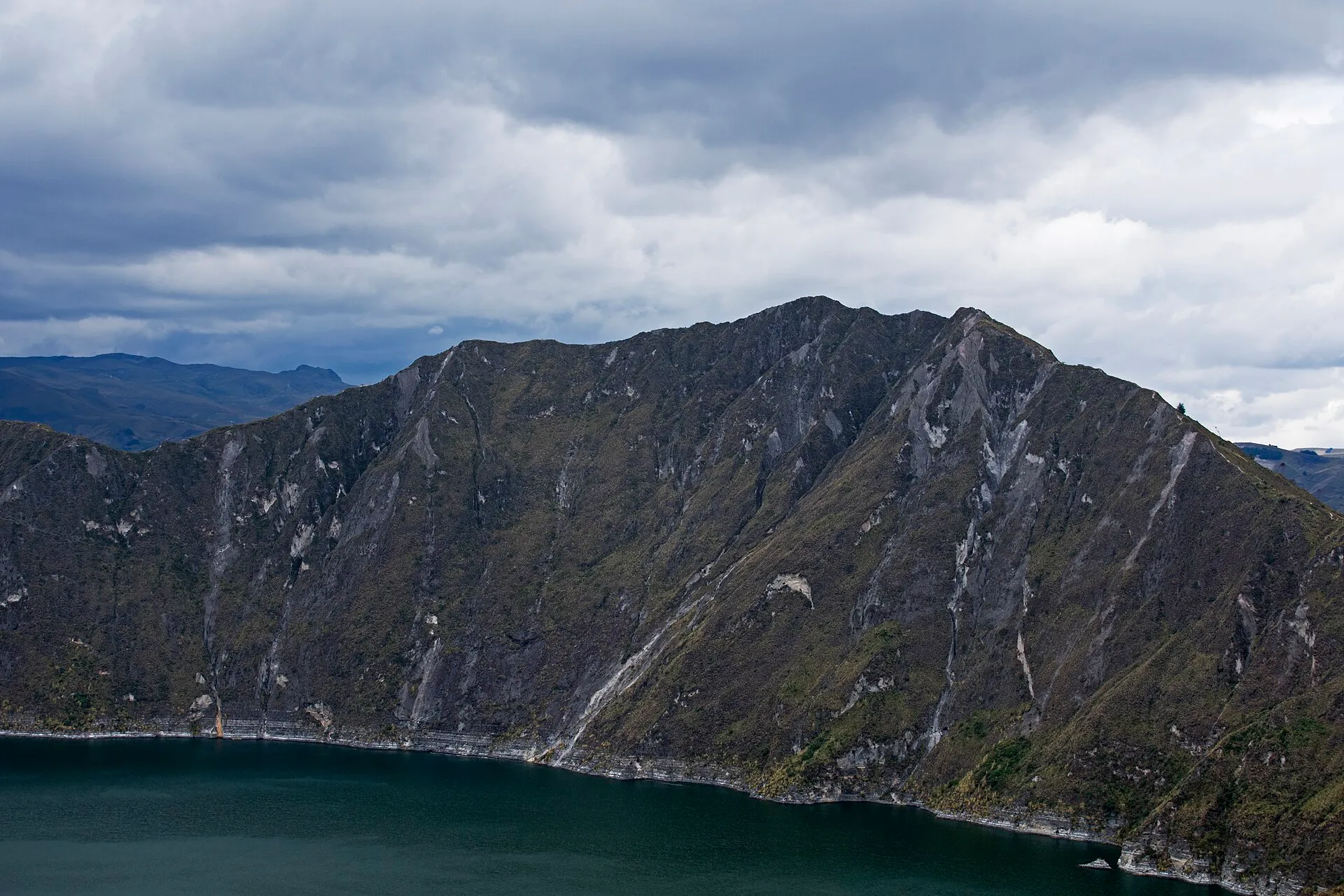
Quilotoa, the crater lake
A lake the color of glacial milk, in a collapsed volcano above the villages.
The Pacific
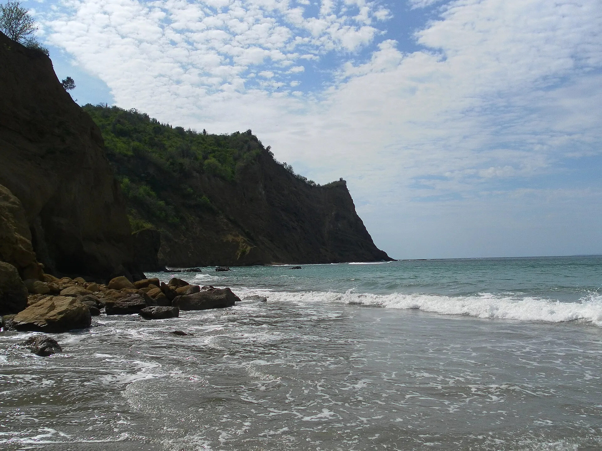
The Pacific coast
A warm shore, a surf town, and humpback whales from roughly June to September.
The Oriente
The Ecuadorian Amazon
A flooded forest and a great river. You go with a guide, and you stay.