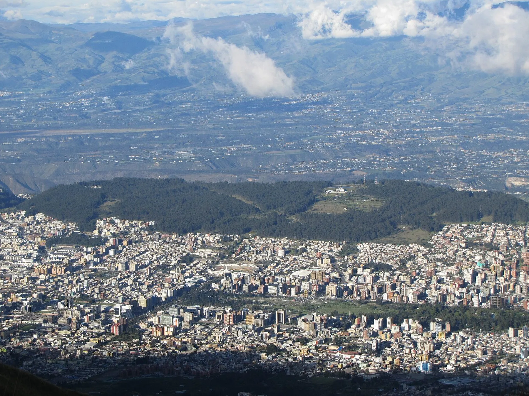
Above the city
Quito TelefériQo and a Pichincha hike
The Quito TelefériQo is a gondola from the edge of the city up Pichincha to Cruz Loma. A hike toward Rucu is a further choice, and a higher one. These are listings we could open. The price is on the partner’s page.
Photograph by David Berkowitz, CC BY 2.0.

Listings
Ways to book
-
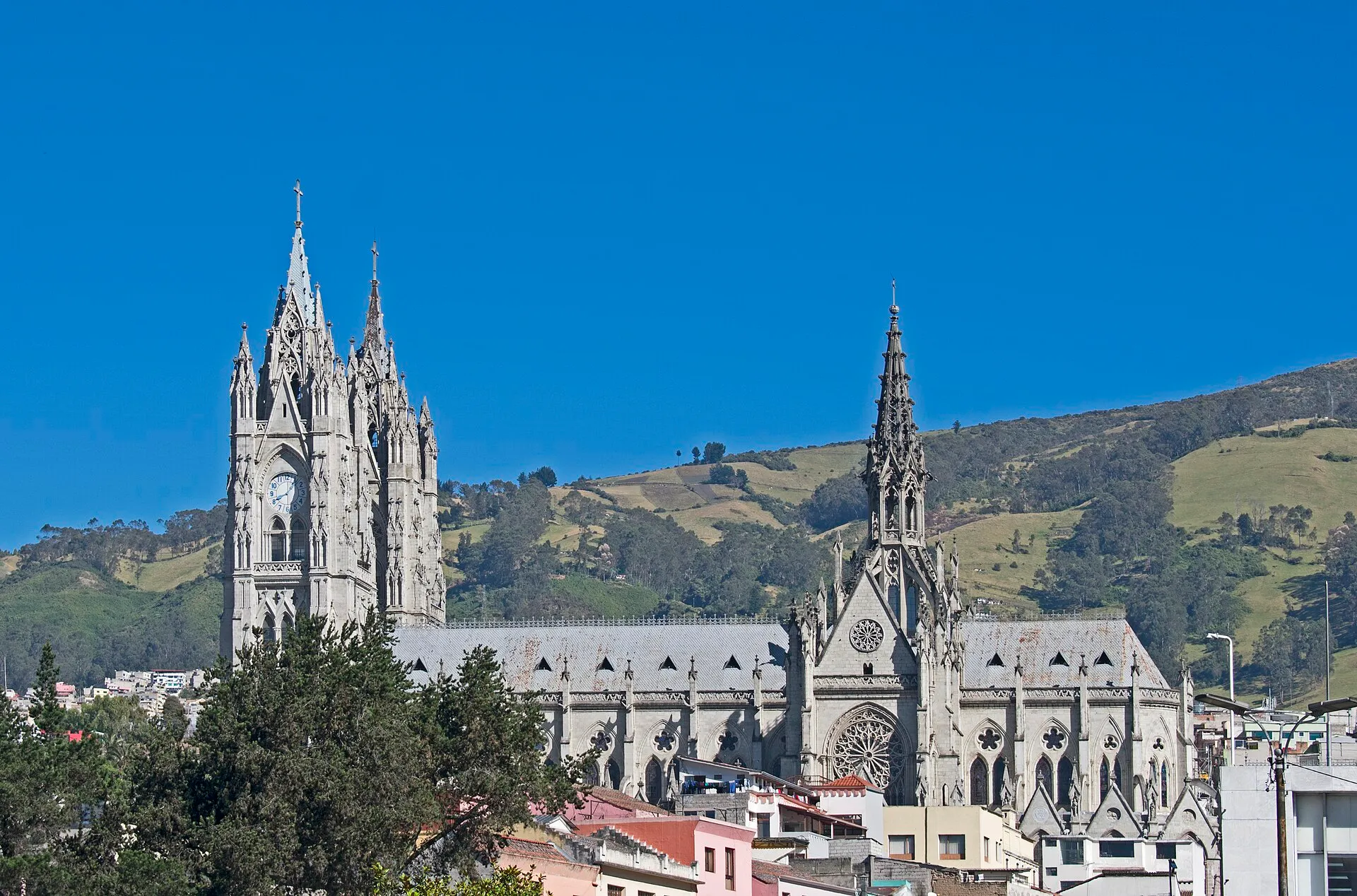
GetYourGuide
Cable car and the old town
The gondola plus the historic center, in one private day.
The listing rides the TelefériQo to about 4,100 m, then the Basílica, the historic center, El Panecillo, Mitad del Mundo, Intiñan, and the Pululahua viewpoint. Private transport, a bilingual guide, hotel pickup, and entrance tickets are included.
Photograph by Ymblanter, CC BY-SA 4.0.
See prices -
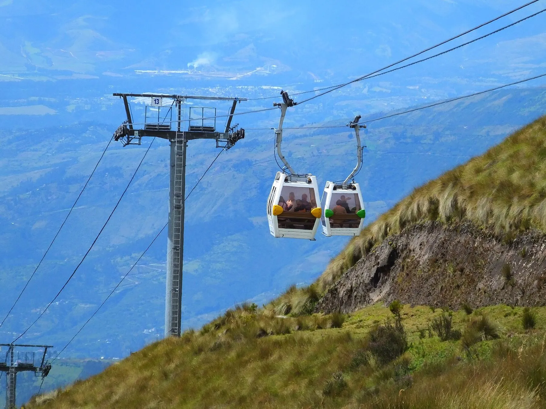
Viator
Cable car, with a hike if you want it
The gondola as the point, and Rucu only as an option.
A private guide and vehicle to the TelefériQo, then Cruz Loma. The listing offers an optional trek of about 4 hours toward Pichincha, or a horseback ride. Food is not included. The meeting point it names is Plaza Foch.
Photograph by AndrewDressel, CC BY-SA 4.0.
See prices -
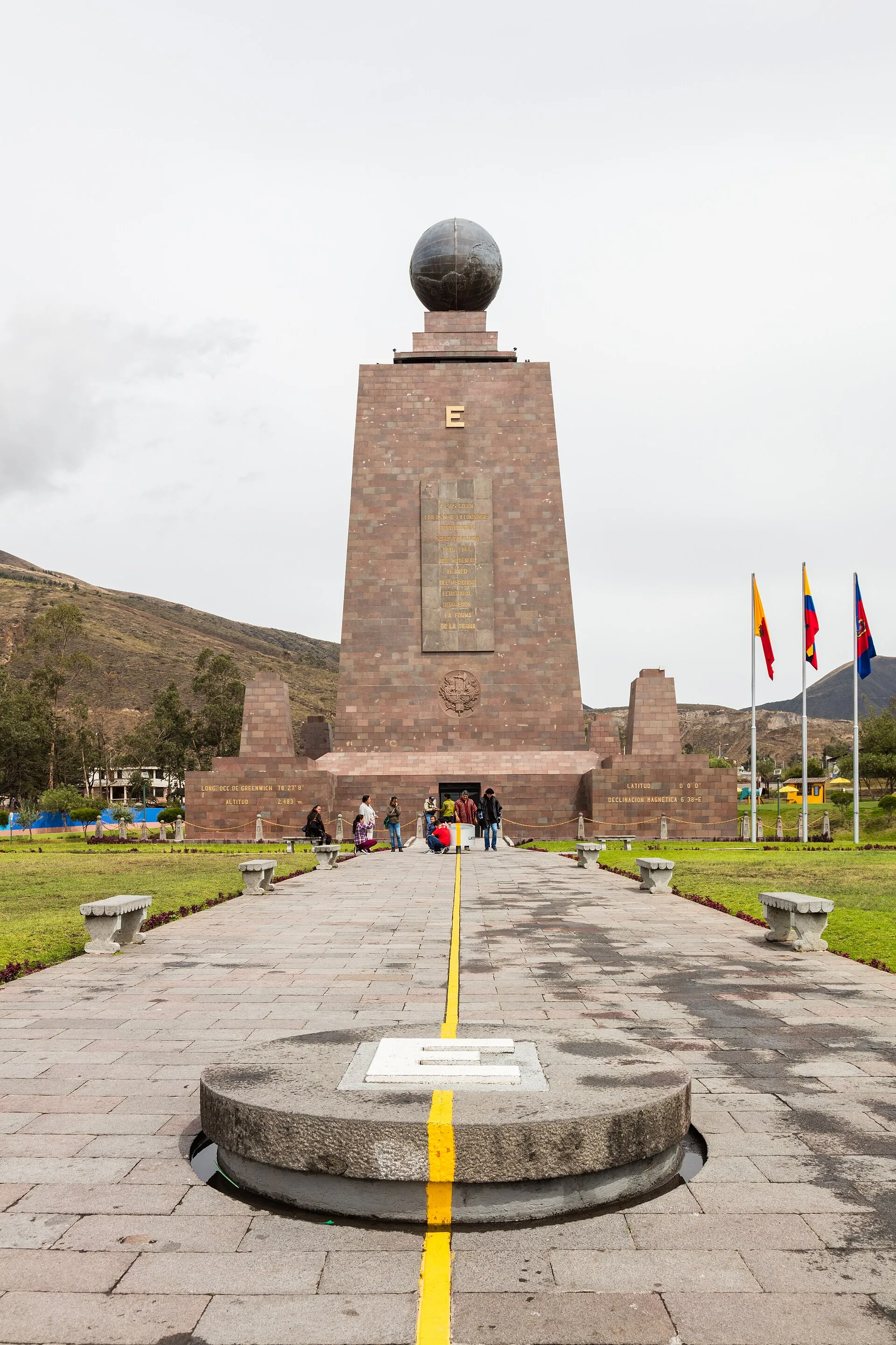
GetYourGuide
Cable car and the equator
The view first, then the monument north of the city.
The TelefériQo, which this listing puts above 4,000 m, and the Intiñan museum at the equator line. A guide rides with you. Volcanoes on a clear day are named as Cotopaxi, Cayambe, Antisana, and Pichincha.
Photograph by Diego Delso, CC BY-SA 4.0.
See prices


Buttons above are paid partner links. How that works.
On the ground
Trip tips
- Quito
- The lower station
- Cruz Loma
- Optional trail toward Rucu
The lift climbs the east side of Pichincha from the edge of the city. The old-town and equator stops, on two of these listings, are a separate loop in the same day. They are not on the mountain.
When
After you have slept in Quito. A clear morning is when Cotopaxi and Cayambe show up. Cloud is the more common story. Do not start the optional hike late.
Weather
Wind and a fast drop in temperature at the station. Hypothermia is the FCDO’s warning on the trail toward Rucu, not a blog’s color. Turn around when cloud or cold arrives.
Stops
Cruz Loma for the view. The Basílica, El Panecillo, and the equator only if you booked the city combination. The optional 4-hour trek is the hike. Horseback, on that same listing, is the other extra.
Altitude and what to bring
Lower station 3,117 m, upper station 3,945 m on Wikipedia. Rucu 4,698 m. Bring a warm layer even if the hotel felt mild, water, and sun protection. Go down if a headache starts. The city is the cure, not another viewpoint.
Sources: Wikipedia, TelefériQo · Wikipedia, Pichincha · FCDO, safety and security . Rewritten here. Fees, hours, and roads change.
Before you go
Good to know
- Wikipedia puts the lift from 3,117 m to 3,945 m, about twenty minutes, over 2,237 m of line. One tour page says about 4,100 m. The altitude chapter quotes the FCDO at 4,050 m for Cruz Loma. Treat every figure as a high station, not a sea-level viewpoint.
- Rucu Pichincha is 4,698 m. Guagua Pichincha, the active peak, is 4,784 m. The optional trek is not a stroll at the station.
- The FCDO notes deaths from hypothermia on the way toward Rucu. The altitude chapter is why this is not a first-night plan.
Landing at Mariscal Sucre and would rather not start in a city taxi? UIO Transfers is a private car from the airport. It is the owner’s company, not a third-party ad.
Also on this site: Quito altitude · Hiking the Avenue of the Volcanoes · Quito and Mitad del Mundo .
Questions
Before you click
How do you visit the Quito TelefériQo?
On these listings, with a guide and a car from the city. One pairs the gondola with the old town and the equator. One is the cable car itself, with an optional hike. One pairs it with Intiñan. Tickets bought on your own are a different errand. This page does not invent a walk-up fare.
Can you hike Pichincha from the top of the cable car?
The Viator listing offers an optional trek of about 4 hours toward Pichincha after the ride to Cruz Loma. Rucu is 4,698 m. That is a high walk, in weather that changes, and the FCDO has warned of hypothermia on that route.
How high is the upper station?
Wikipedia says 3,945 m, up from 3,117 m. A tour page says about 4,100 m. The FCDO figure in the altitude chapter is 4,050 m at Cruz Loma. The ride is short. The air is not.
Is this a plan for the day you land?
No. Quito is already about 2,850 m. The station is far above that. The altitude chapter says to leave the cable car for a later day, and to skip alcohol and heavy exercise for at least 48 hours after you arrive.