Avenue of the Volcanoes
Quito to Cotopaxi day trip: best tours
A full day south into Cotopaxi National Park, with a guide watching the weather and the clock. These are listings we could open. The price is on the partner’s page.
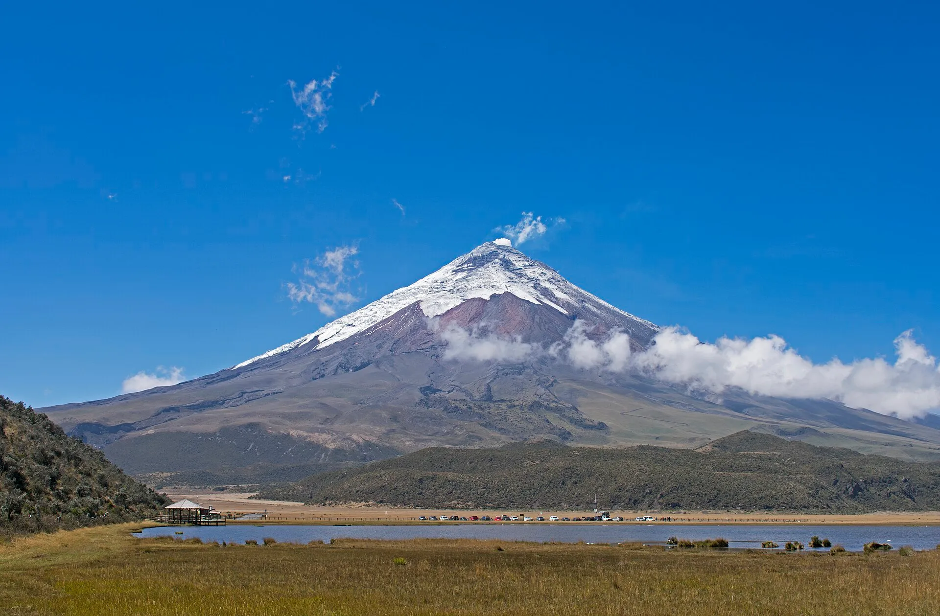
Photograph by Ymblanter, CC BY-SA 4.0.

Listings
Ways to book
-
GetYourGuide
Park day with a hike
A first look at the park, with pickup already named in Quito.
The listing names pickups at La Carolina, Plaza Foch, and Plaza Grande, then Laguna Limpiopungo and a hike toward the José Ribas refuge. Quindetour is the provider on that page.
See prices -
GetYourGuide
Glacier hike
People who already walk on ice.
The listing includes transport from Quito, time at the José Rivas refuge, and Limpiopungo.
See prices -
Viator
Full day, gates included
A longer day with a bilingual guide and the entrances paid.
Tourist transport, a bilingual guide, and park entrances. The listing leaves food and drinks to you.
See prices -
Klook
More Cotopaxi days
A wider shelf, if the three above are the wrong shape.
Klook’s Cotopaxi destination, if you want a wider set of days.
See prices
Buttons above are paid partner links. How that works.
On the ground
Trip tips
- Quito
- E35 south
- Km 42
- Caspi control
- Limpiopungo
- Refuge parking
That line is the south entrance. A bus from Quitumbe is published at about 1 hour 20 minutes to 1 hour 30 minutes to the highway entrance, followed by a walk of more than an hour to the gate. The north road via Machachi is the rough alternative.
When
Give Quito at least two days before this drive. Listings that name a morning pickup are the practical start; the refuge is a poor plan on the morning you land.
Weather
The north dirt road is described as especially rough in rain.
Stops
Laguna Limpiopungo, around 3,800 m, sits on the way up. The museum is passed before the lake on the usual park road. The refuge parking is higher still, near 4,500 m.
Altitude and what to bring
The volcano is 5,897 m. The José Rivas refuge is 4,864 m. Symptoms of altitude can begin above about 2,500 m, and Quito is already about 2,850 m. Drink water, skip alcohol, eat lightly, go slowly, and descend if you feel a headache, nausea, or dizziness.
Sources: Quito Tour Bus · Brooke Beyond · Real Dreams · Frommer’s . Rewritten here. Fees, hours, and roads change.
Before you go
Good to know
- Pickups named on the park-day listing are La Carolina, Plaza Foch, and Plaza Grande. Confirm the point when you book.
- The glacier listing is a hike on ice, which is a different day from a walk at Limpiopungo.
- Park rules and any entrance fee should be checked before you go. Published fee tables go stale.
Landing at Mariscal Sucre and would rather not start in a city taxi? UIO Transfers is a private car from the airport. It is the owner’s company, not a third-party ad.
Questions
Before you click
How long do these Cotopaxi tours from Quito take?
One GetYourGuide park day lists 9 hours. The glacier hike lists 7 hours. The Viator day describes about 12 hours. Those figures come from the listings.
How long is the drive from Quito to Cotopaxi?
One operator puts the park about two hours south of Quito on the E35. Another account times the park at about 90 minutes from the city, then close to another hour up to the volcano parking. The south-entrance road reaches the Caspi control about 15 minutes after the signed turn at kilometer 42.
Is Cotopaxi a good plan the morning you land?
The José Rivas refuge is at 4,864 m, and Quito itself is about 2,850 m. Writers advise at least two days in the city first, water, light meals, no alcohol, and turning back if a headache, nausea, or dizziness shows up.
Which entrance do people use?
The south entrance follows the Panamericana E35 to kilometer 42, then about 15 minutes to the Caspi control. The north road via Machachi is described as rough dirt that wants a high-clearance four-wheel drive, especially in rain.